
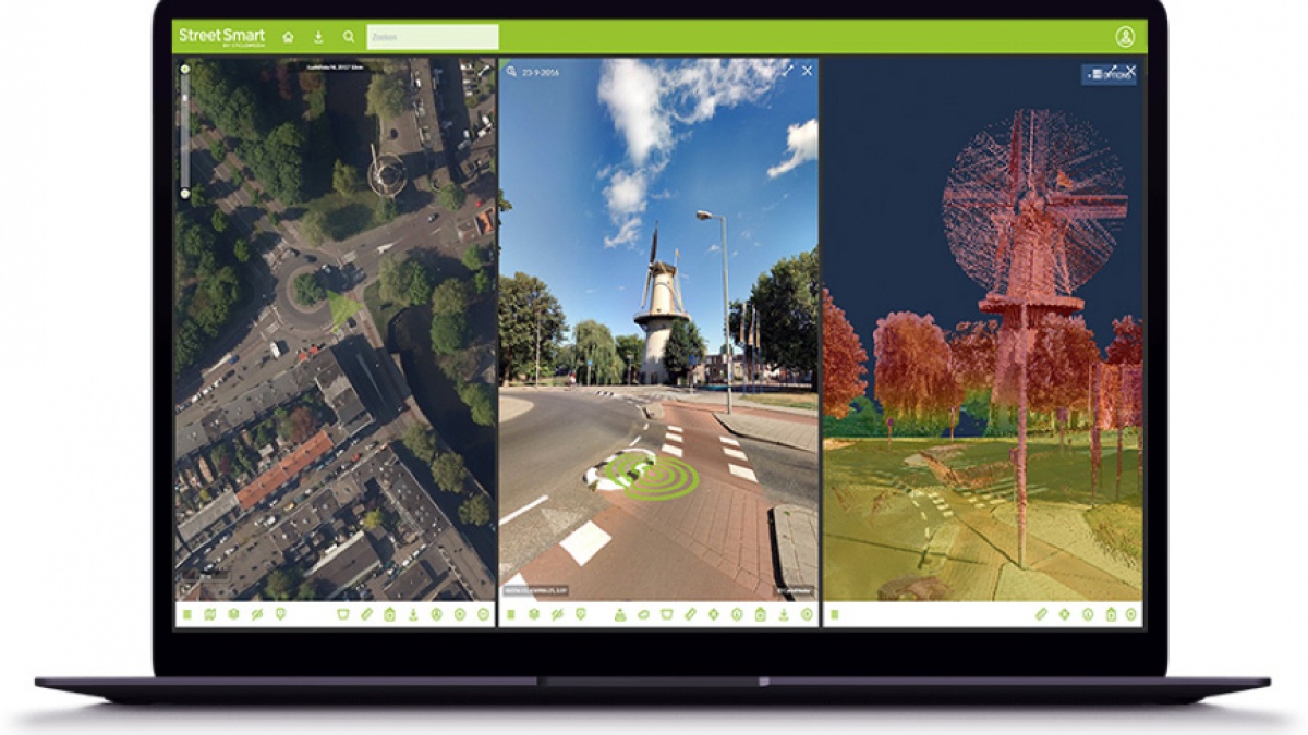
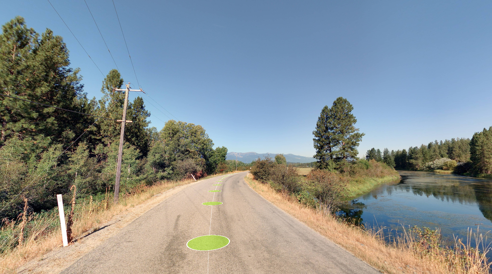
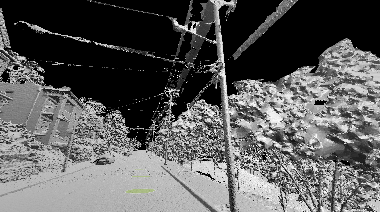
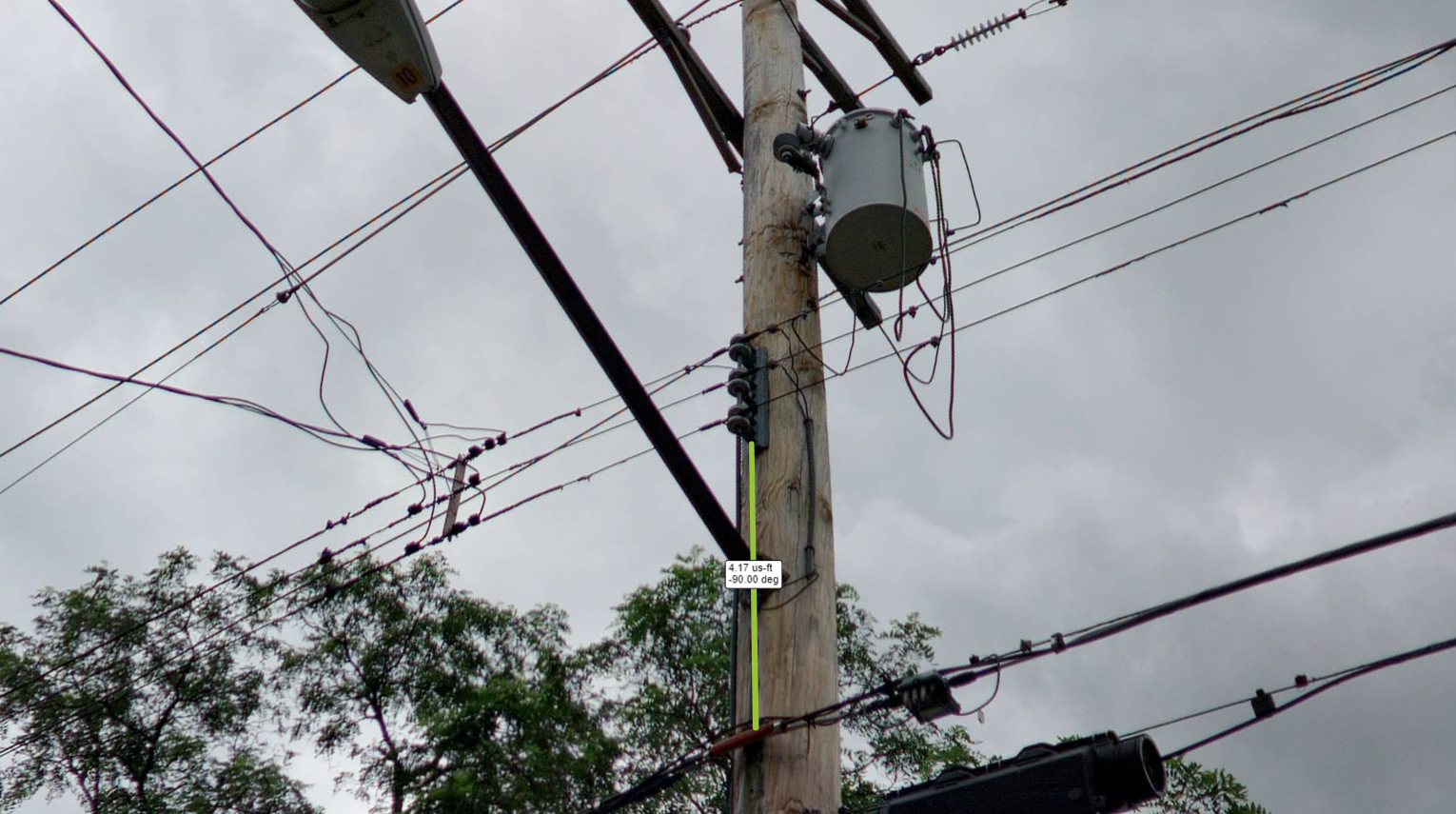
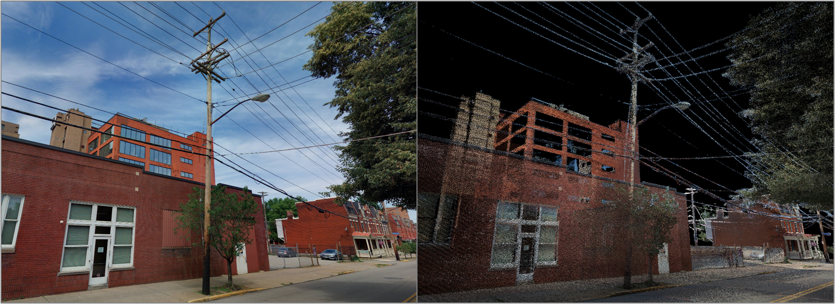
Street Smart is the interactive web viewer for all Cyclomedia content: Cycloramas, aerial imagery, and point clouds. Our user-friendly interface enables fast and easy access to all of our data, both recent and historic. This functional viewer includes our Measure Smart technology, which allows users to take measurements at centimeter-level accuracy from a single image. Street Smart can be used “stand-alone” or within the framework of existing customer systems by using our Javascript and .NET APIs, and is available as a native app for use on mobile devices.


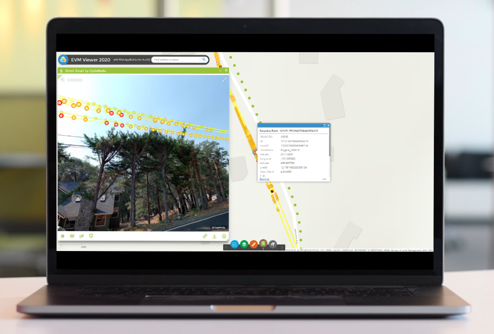
Street Smart API has a number of services to integrate Cycloramas and other Cyclomedia data into 3rd-party applications. The API is mainly used within other GIS and CAD software to provide an integrated view of a location, and can be easily ported to other critical systems. Most Street Smart features are available in the API, which ensures that organizations can customize Street Smart features and the user interface to best suit their workflows. Cyclomedia has developed an integration with Esri ArcGIS Pro and ArcMap and offers this as an open-source license (LGPL). This add-in offers the possibility of using Cycloramas within ArcGIS Pro and ArcMap. In Addition there is a widget for Web AppBuilder for integration with ArcGIS Online and Portal for ArcGIS. Cyclomedia can also provide supported plug-ins for both MicroStation and AutoCAD.
