Handshake-Icon-200x200

Why it's Important

Cyclomedia’s solutions save a tremendous amount of time, cost, and resources on field survey, assessment, and inventory projects compared with traditional manual efforts. More importantly, these solutions can help avoid disasters resulting in environmental damage or loss of life.

Tier One West Coast Utility

With much of the utility industry regulated by local, state, and federal agencies, electric and gas providers often struggle to stay up to date with asset inspection and vegetation management. This information is critical for maintaining compliance and continuity of service, and is especially important to have before and after disastrous events. In early 2019, a Tier One IOU encountered a similar situation with high-risk fire zones in California, where they turned to Cyclomedia for a quick and efficient method to visualize assets and encroaching vegetation from their desks, a way to QA/QC post-remediation efforts, and a map of geospatial-relative analyses.

Vegetation Hazards

Solution

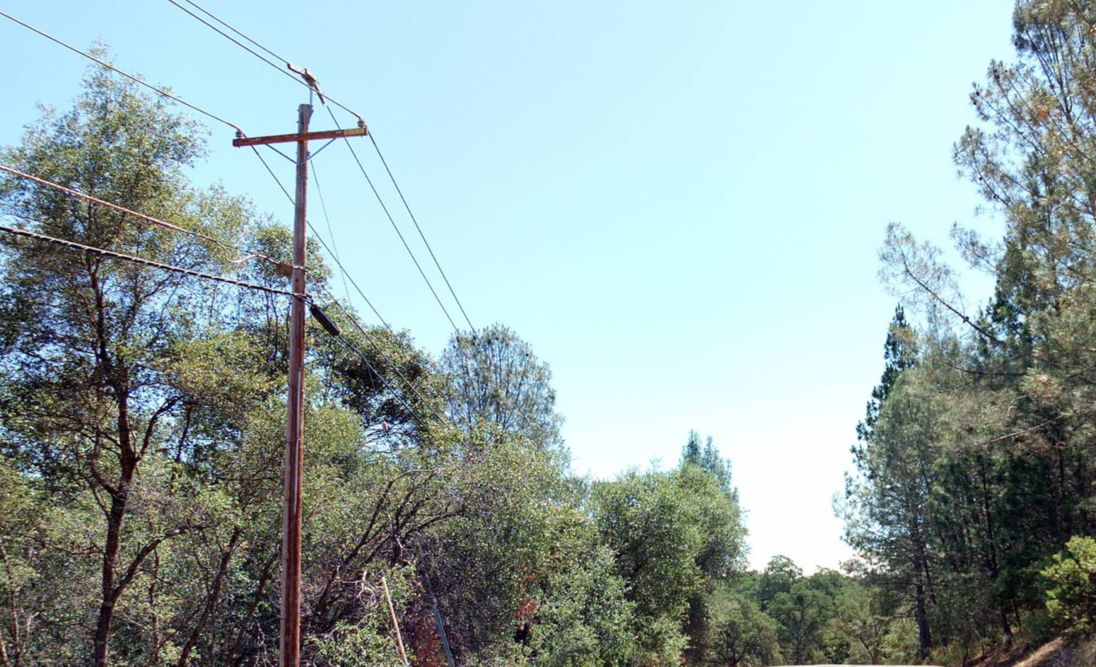
To date, Cyclomedia has been able to collect over 25,000 miles of data with the fastest delivery cycle time in the industry and an average positional accuracy of 10cm. Cyclomedia’s collection method can save our clients approximately 30-40% of what they would spend on a traditional, boots-on-the-ground inspection.

Our client has benefited from receiving an accurate and authoritative record, which battles the scrutiny of regulations and legal implications, and can be used in a court of law if necessary. A reusable source-of-truth dataset allows our client to identify additional assets to be extracted at a later date, and to involve additional internal departments, at any time, who can apply delivered data to problems they need to solve with little to no additional work.
Cyclomedia’s solution is proven and scalable. While we have collected and delivered over 25,000 miles to the client, the entire project sprouted from a 100 mile pilot project. Pilot projects are an effective method of introducing new technology and workflows while ensuring these processes will integrate easily within an organization.

“The profound level of detail captured within Cyclomedia’s images,
and Cyclomedia’s ability to capture images in near real-time, have
been game-changing for us.”

— Senior Manager at Tier One West Coast Utility

Tier One East Coast Utility

Cyclomedia completed an initial asset identification, extraction and reconciliation project for the Tier One East Coast Utility. The goal of the pilot project was to use high resolution imagery and LiDAR point cloud data to detect and extract both electric and gas assets using machine learning, AI and experienced data extraction analysts. Once the utility assets were extracted with accurate x,y,z locations they were reconciled against the utility’s records, resulting in a definitive data set to be used for integration with the new GIS platform.