Watch Now
Coral Gables, FL

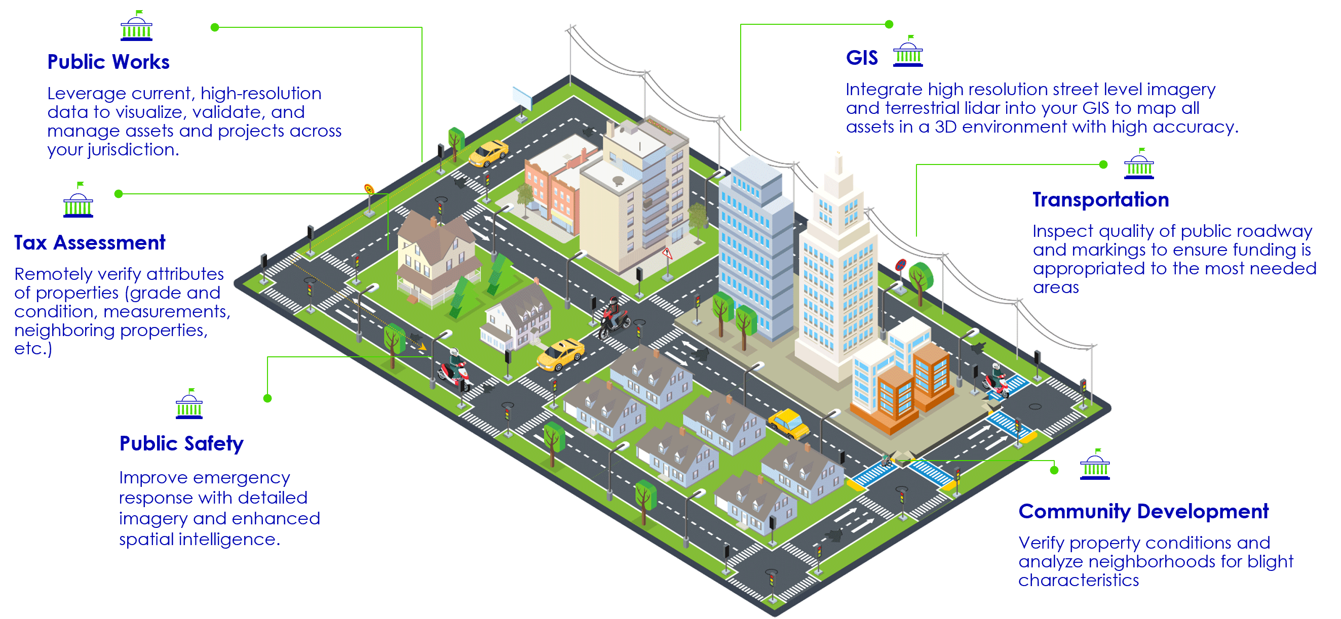
Cyclomedia specializes in capturing, optimizing, and displaying various types of visual data for Public Works and other local government Departments/Agencies such as Public Safety and Assessor’s offices who have access via our Enterprise License.
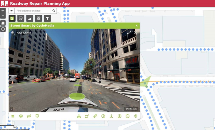
The imagery information and LiDAR point clouds are accessible through Street Smart, our cloud-based viewer, or the imagery can be integrated directly into other applications from companies such as Esri, Autodesk, Cartegraph, and CAMA systems. Adding other Departments/Agencies may provide opportunities for inter-departmental cost sharing and each stakeholder receives unlimited access.
Contract Complete: 2013- Present
Cyclomedia has conducted seven annual collections of street-level imagery and LiDAR data across the District’s network. With a dense network of roadway assets, an important criteria for DDOT’s vendor selection was the ability to rapidly deliver a quality asset inventory. Cyclomedia extracted numerous point and linear asset types, including over 300,000 signs. DDOT’s internal testing and analysis of asset datasets estimated Cyclomedia’s extracted dataset accuracy at 99%—a testament to the fidelity and quality of our asset extraction environment. Extracted asset data was synchronized to the District’s Esri Roads & Highways LRS, delivered via an Esri Geodatabase file, and imported into numerous DDOT applications, including their City Works™ asset management system.