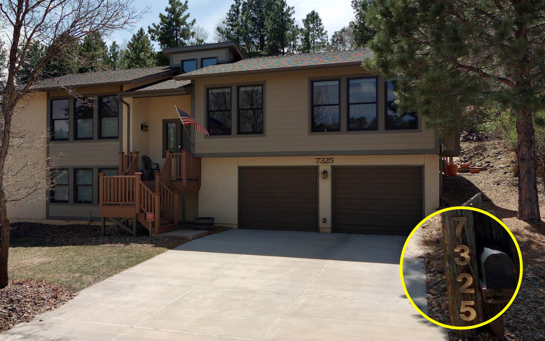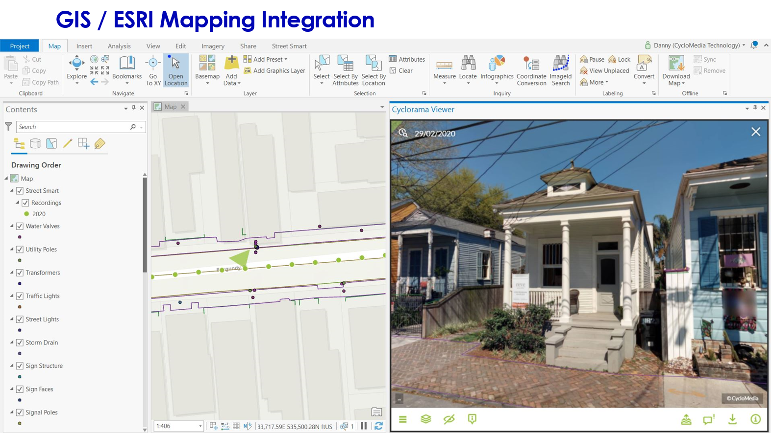
• Street-level 360-degree panoramic images viewed from multiple angles
• Detailed imagery provides views of building materials and property condition
• Tools to capture rectangular photographic cut-out images
• Integrations with various CAMA, Tax, and Esri based GIS applications
• Exceeds IAAO Mass Appraisal of Real Property 3.3.5 standard
• Imagery data is an enterprise-wide asset, allowing other local government departments to benefit from viewing conditions in the field, collecting data, and taking measurements
Cyclomedia's 100-megapixel, 360-degree imagery and highly accurate measurement capabilities integrate into the majority of Property Appraiser workflows and CAMA software systems.
Access your imagery and tools anywhere in the world with our web-based and mobile viewing applications and make measurements with sub-inch accuracy.

Our cloud-hosted Street Smart web application provides access to our 3D GeoCycloramas™, a stunning 100 megapixel, 360°x180° perspective of your roadway with unmatched accuracy