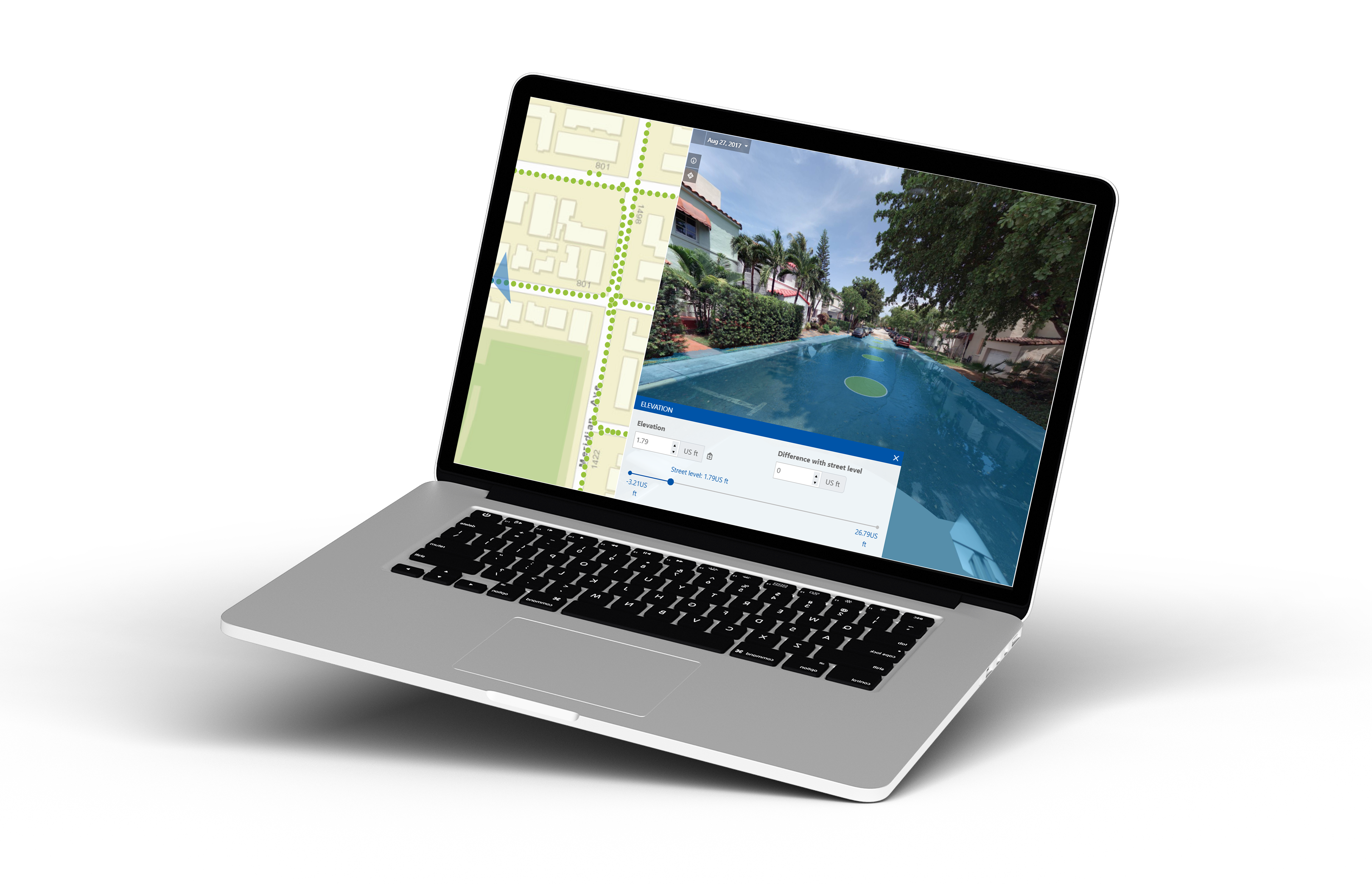
Strengthen Your Flood Planning & Safeguard Public Safety with Cyclomedia’s Precise Elevation Data
Cyclomedia’s Street Smart Elevation Tool is designed to empower professionals with highly accurate, localized elevation data. With our detailed mapping already available in your area, you can elevate your approach to assessment, streamline operations, and make data-driven decisions with confidence.
Why Choose the Street Smart Elevation Tool?
.png?width=75&name=Untitled%20design%20(7).png)
Enhance Flood Risk Assessment
.png?width=75&name=Untitled%20design%20(5).png)
Reduce On-Site Inspections
.png?width=75&name=Untitled%20design%20(8).png)
Improve Public Safety

Seamless Implementation with Data Ready in Your Area
Our mapping data is already available in your region, making it easy to integrate the Street Smart Elevation Tool into your existing flood planning processes. Start making proactive, informed decisions to protect your community.
"Cyclomedia allows us to be far more efficient with our time, and allows us to do quite a bit of what we would otherwise have to have boots-on-the-ground [for]… I do not see us not being engaged with Cyclomedia for the foreseeable future!"
-2.png?width=1193&height=632&name=Untitled%20design%20(1)-2.png)
.png?width=1080&height=1080&name=HubSpot%20EM%20Headshot%20Template%20(4).png)