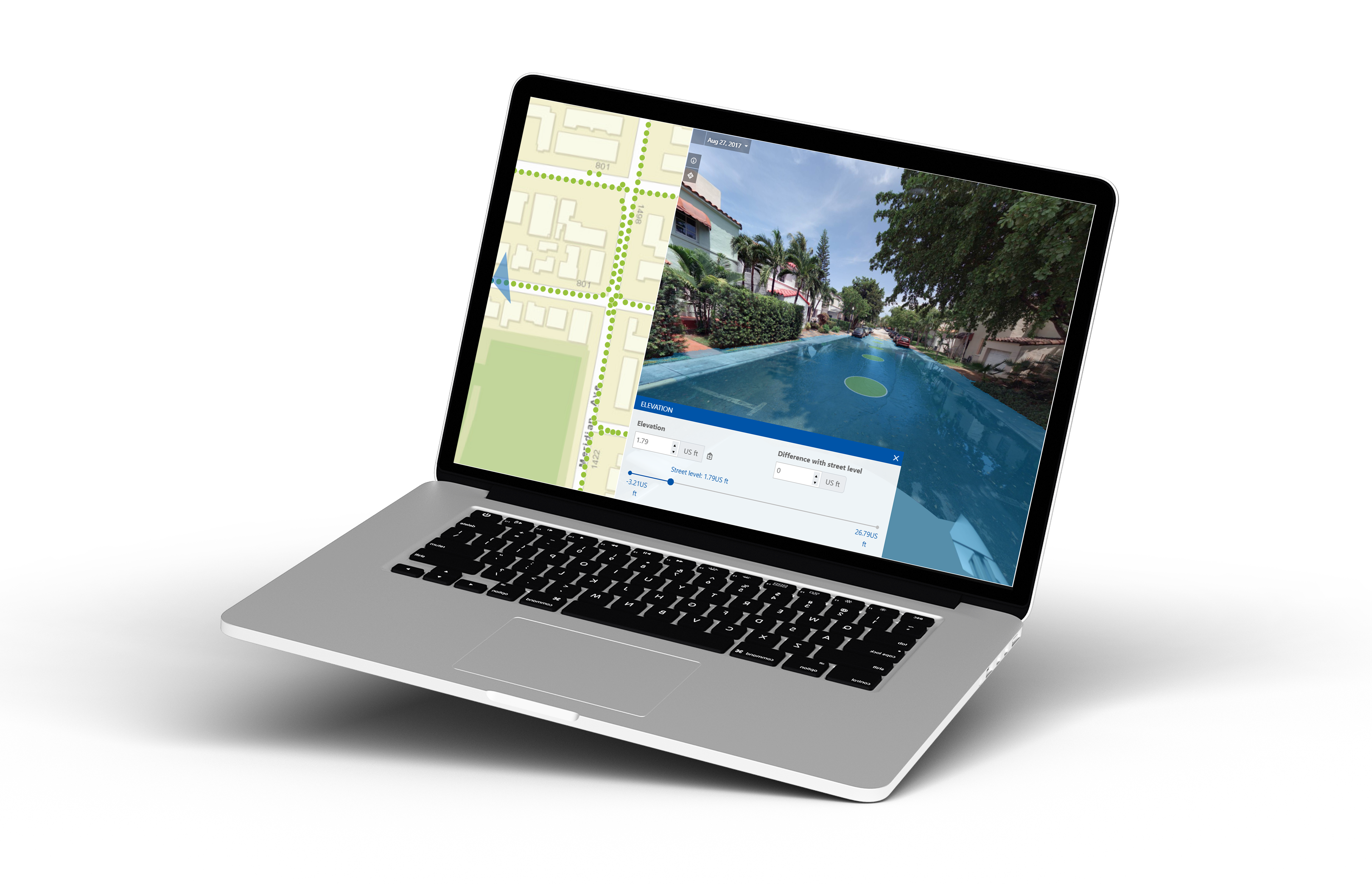
Unlock Precision in Flood Risk Management
Cyclomedia’s Street Smart Elevation Tool is designed to empower insurance professionals with highly accurate, localized elevation data. With our detailed mapping already available in your area, you can elevate your approach to assessment, streamline operations, and make data-driven decisions with confidence.
Streamline Your Operations
.png?width=75&name=Untitled%20design%20(7).png)
Evaluate Flood Risks
Evaluate flood risks with precision, using accurate elevation data.
-1.png?width=75&name=Untitled%20design%20(6)-1.png)
Set Premiums
Set premiums based on reliable, real-world insights.
.png?width=75&name=Untitled%20design%20(5).png)
Reduce Field Inspections
Reduce field inspections by verifying claims from your desk.

Ready to Elevate Your Accuracy?
Our mapping data is already available in your area, ready to support your flood risk management needs. Start achieving higher precision and efficiency today with Cyclomedia’s Street Smart Elevation Tool.
"Cyclomedia allows us to be far more efficient with our time, and allows us to do quite a bit of what we would otherwise have to have boots-on-the-ground [for]… I do not see us not being engaged with Cyclomedia for the foreseeable future!"
-2.png?width=1193&height=632&name=Untitled%20design%20(1)-2.png)
.png?width=1080&height=1080&name=HubSpot%20EM%20Headshot%20Template%20(4).png)