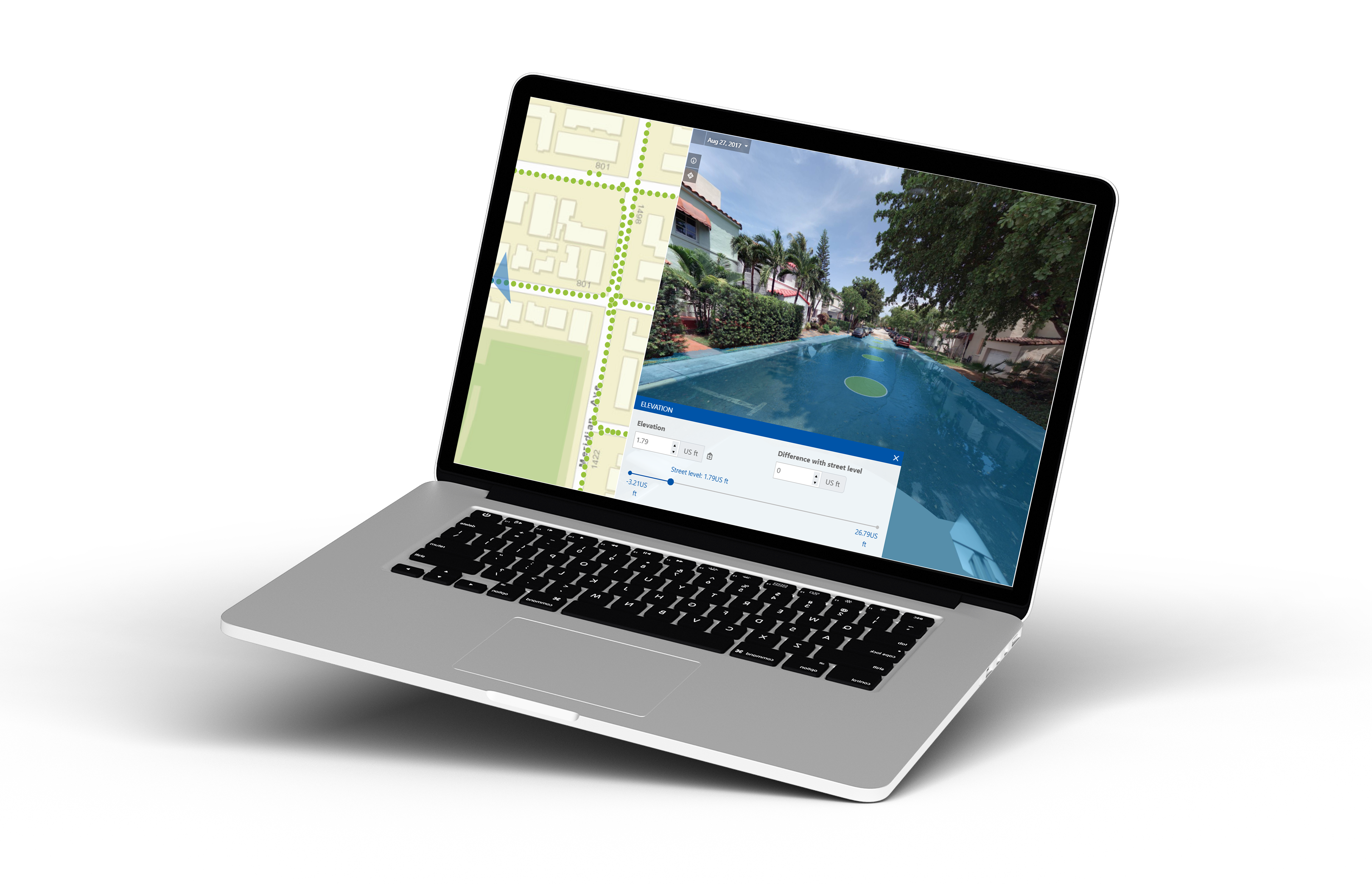
Unlock Precision in Flood Risk Assessment
Cyclomedia’s Street Smart Elevation Tool is designed to empower tax assessment professionals with highly accurate, localized elevation data. With our detailed mapping already available in your area, you can elevate your approach to assessment, streamline operations, and make data-driven decisions with confidence.
Streamline Your Operations
.png?width=75&name=Untitled%20design%20(3).png)
Assess Property Values
Assess property values more accurately, using up-to-date elevation and location-specific data.
.png?width=75&name=Untitled%20design%20(4).png)
Enhance Accuracy
Enhance accuracy in risk and value assessment, saving time and improving resource allocation.
.png?width=75&name=Untitled%20design%20(5).png)
Simplify Fieldwork
Simplify fieldwork with remote property insights, reducing the need for costly, time-consuming site visits.

Ready to Elevate Your Accuracy?
Our mapping data is already available in your area, ready to support your flood risk property assessment needs. Start achieving higher precision and efficiency today with Cyclomedia’s Street Smart Elevation Tool.
"Cyclomedia allows us to be far more efficient with our time, and allows us to do quite a bit of what we would otherwise have to have boots-on-the-ground [for]… I do not see us not being engaged with Cyclomedia for the foreseeable future!"
-2.png?width=1193&height=632&name=Untitled%20design%20(1)-2.png)
.png?width=1080&height=1080&name=HubSpot%20EM%20Headshot%20Template%20(4).png)